Sourced
and on the record.
Research on wildfire rules, city vegetation programs, roof and insurance records, safety, turf, golf, and orchards, written for the people who answer for the property. Every paper is here in full. Download or share the PDF when you need a copy.
Written by the FlyCRE CTO

Defensible by Record
Documenting Fuel Modification Zones and Defensible Space in California. How HOAs, cities, and fire agencies can keep dated records of fuel modification zones and defensible space.
Read the paper →
Documenting and Tracking Vegetation Management for Cities
A FlyCRE White Paper for City Leaders, Staff, and Fire Agencies. How California cities can document vegetation management across open space, slopes, and interface edges, and why records matter for grants and council.
Read the paper →
The Record Before the Claim
Dated Aerial Documentation for Real Estate and Insurance. Why dated property records matter for due diligence, renewals, and claims, and how California is changing insurer use of imagery.
Read the paper →
The Future of Roofing Documentation
Why Drones Are the New Industry Standard. How aerial roof documentation is produced, what thermal data can and cannot show, and what makes a dated roof record hold up.
Read the paper →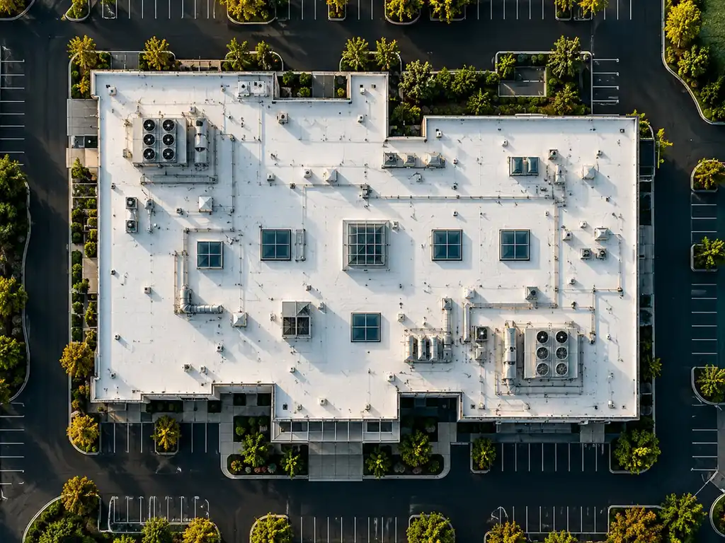
The Safety Advantage
Aerial Roof Documentation as the New Standard. Why aerial roof documentation keeps people off the roof.
Read the paper →
Every Acre on Record
Documenting Parks, Sports Fields, Golf Courses, and Orchards. How California water rules, including the nonfunctional turf ban, change recordkeeping for parks, golf courses, sports fields, and orchards.
Read the paper →
Every Hole on Record
Aerial Documentation for Golf Courses. Golf course water use, California turf and conservation rules, and what research says about aerial sensors on golf turf.
Read the paper →
Rows on the Record
Aerial Documentation for California Orchards. How groundwater, irrigated lands, and disaster programs make orchard records matter, and what research says about aerial sensors on tree crops.
Read the paper →We protect the right to privacy.
We do not capture data of private property or residences. Our flights cover only the properties our clients own, insure, or manage, at high altitude so neighbors are never disturbed.
Put your property
on the record.
Request a ConsultationANNUAL PLANS · FLIGHTS EVERY TWO WEEKS, MONTHLY, OR QUARTERLY · ALL SENSORS ON EVERY FLIGHT