Turf, trees, and fields,
measured over time.
Multispectral and thermal layers for parks, sports fields, golf courses, and growers, captured on a schedule you set.
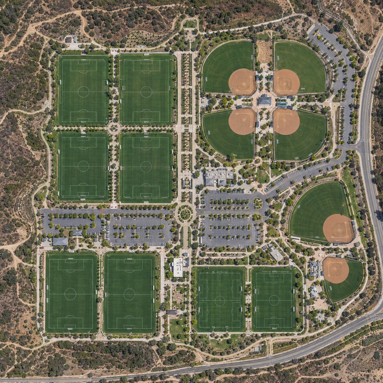


For the ground that grows.
Plan from what the ground shows, not what you remember.
Grounds change week to week. A consistent aerial record puts your team, your agronomist, and your board on the same facts.
Well kept grounds should look that way on paper.
Grounds carry liability and insurance exposure for the cities, HOAs, and operators who manage them. A dated aerial history shows how the site was kept.
FlyCRE captures and documents. Plant and turf conditions are interpreted by a qualified agronomist, our partner or your own. Discount eligibility and amounts are set by each insurer and program.
Built for the people who keep the ground.
See everyone we serve, starting in Orange County.
We protect the right to privacy.
We do not capture data of private property or residences. Our flights cover the parks, fields, and grounds our clients manage, at high altitude so neighbors are never disturbed.
Your grounds,
on a schedule.
Request a Consultation
ANNUAL PLANS · FLIGHTS EVERY TWO WEEKS, MONTHLY, OR QUARTERLY · ALL SENSORS ON EVERY FLIGHT
FlyCRE provides aerial site documentation and data subscription services. We capture RGB, thermal, and multispectral imagery on a schedule, process it, and deliver it through FlyCRE Intelligence as an observational record. We do not provide maintenance, repair, inspection, or land surveying services. Measurements are approximate, for condition tracking and reference, and are not survey-grade. Read the full scope of service.