Every hole,
on the record.
Fairways, greens, roughs, and irrigation change week to week. FlyCRE maps the whole course in RGB, thermal, and multispectral on a schedule, so your team can compare any date with any other.
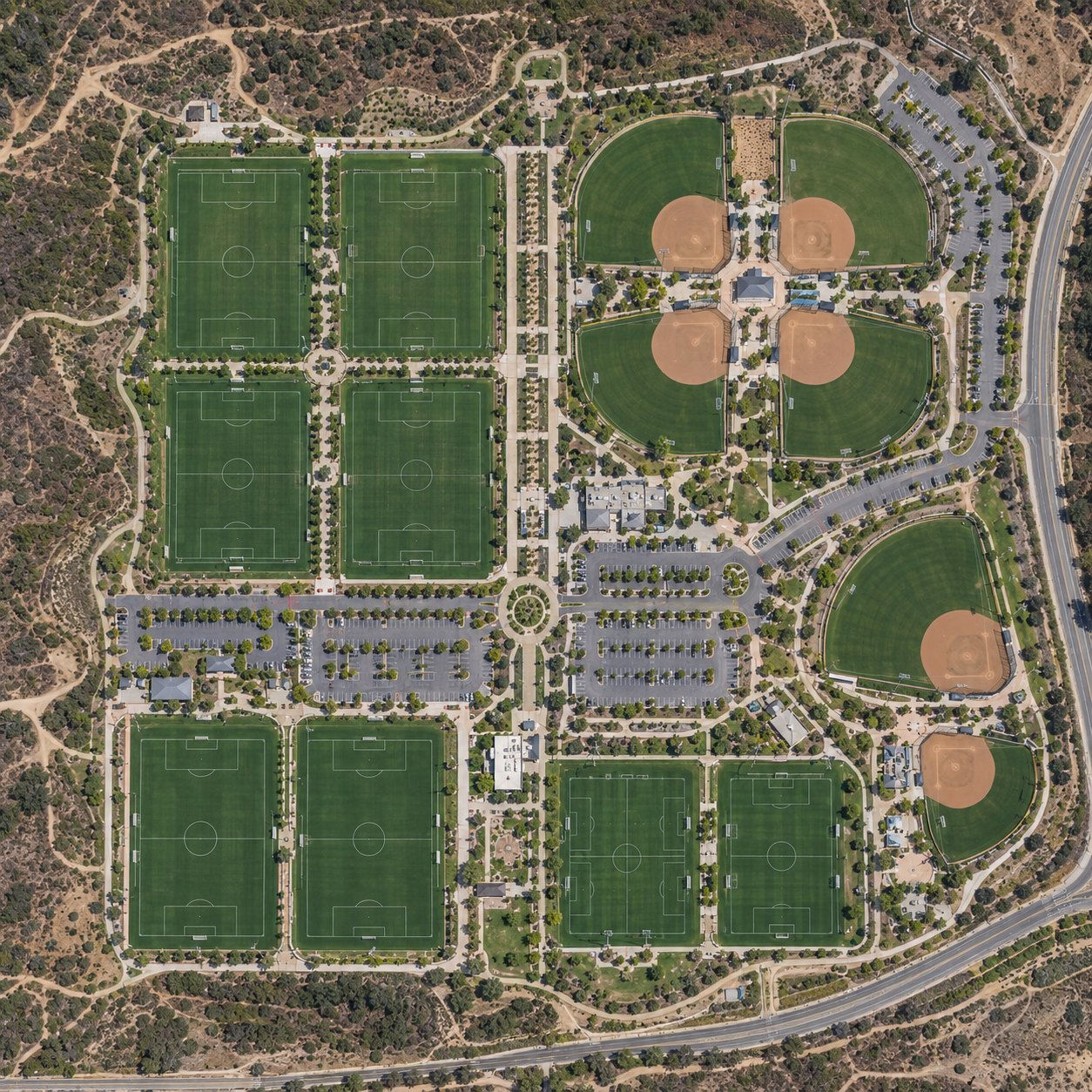
The whole property,
every flight.
All sensors fly on every flight. There is no menu of add ons to choose from.
One map for the whole operation.
Orange County first.
Then California and the West.
Based in San Clemente, we fly across Orange County first, then the rest of California and the Western U.S. through our pilot network.
Courses that border open space can also document fuel modification zones with Wildfire Intelligence.
What does FlyCRE capture on a golf course?
Every flight carries high resolution RGB, thermal, and multispectral sensors, delivered as 2D and 3D models of the whole property in FlyCRE Intelligence.
Does FlyCRE tell us what is wrong with our turf?
No. We document conditions. Your superintendent and agronomist interpret the imagery and make the calls.
Will a flight interrupt play?
No. We fly at high altitude, and nothing on the ground has to stop for a capture.
How often do courses fly?
Annual plans run every two weeks, monthly, or quarterly. Some courses choose a tighter schedule through the growing season.
We protect the right to privacy.
We do not capture data of private property or residences. Our flights cover only the properties our clients own, insure, or manage, at high altitude so neighbors are never disturbed.
Put your course
on the record.
Request a ConsultationSAN CLEMENTE, ORANGE COUNTY · SERVING CALIFORNIA AND THE WESTERN U.S. · (949) 492-1175